
Impacts of 3D Scanning Technology in Industry Growth and Facility Management
Land surveying technology is evolving at lightning speed - are you making the most of today’s modern resources when preparing your business for growth?
3D scanning technology has taken the land surveying industry by storm as tool to streamline facility improvements and greenfield construction, but don’t just take it from us. Let’s connect with one of ISG’s industrial partners who have experienced the positive impact of 3D scanning technology first hand in their own operations and growth efforts.
Agropur is a Canadian-based dairy cooperative that started in 1938, and has since become one of the largest dairy-processors in the world. A long-time partner of Agropur and a number of the dairy processing companies that have joined its organization, ISG is currently designing a major expansion and addition to an existing processing facility in Lake Norden, South Dakota. As part of these services, ISG’s land surveying team conducted a facility-wide 3D scan of the building’s exterior and interior as a means to establish a clear set of exiting conditions on which to develop designs. We caught up with two key project leaders from the Agropur team to discuss the impact this technology has had on the project thus far, and its value in future efforts.
Robby Boyd; Director of Automation - US Operations
Dave Kindt; Senior Director of Engineering - US Operations
Q: How was 3D scanning used in your project?
We saw 3D scanning as an opportunity to gather all site and facility data in one clean shot for our records throughout the process of our major facility expansion. This allowed our team to quickly answer questions as things came up in the planning process it was easy just by simply opening the 3D scan and verifying what data was there.
Q: Why did you decide to go the 3D scanning route, rather than stick to more traditional methods?
We were most drawn to the high accuracy of data being provided.


Q: How would you describe the 3D scanning process to another industry peer?
It’s an easy process, and convenient for the client. All that has to be confirmed is a decision on the level of accuracy needed, and what aspects of your site and/or facility you want scanned.
Q: What was the biggest advantage that came from the 3D scanning services you received?
Being able to refer back to 360 degree images and take their dimensions has helped our team make flexible, agile decisions regarding design and process changes throughout the course of the project. It provides a level of special understanding not captured by standard surveying.
Q: Have the results of 3D scanning inspired you to think differently about the technology?
We have plants across the country, and having this scan done at each of our facilities can answer so many questions promptly as they arise. This comprehensive information really is invaluable.
This is but one example of the many ways 3D scanning can enhance or streamline site and facility projects. What can 3D scanning do for you?
Join the conversation #ISGIndustrial #3DScanning


Related Articles


.webp)
Navigating the MS4 Permit Program: How ISG Supports Communities Every Step of the Way
The management of stormwater runoff is a pressing concern for cities across the nation, and the Municipal Separate Storm Sewer System (MS4) permit program is a critical framework designed to protect water quality and our natural resources.
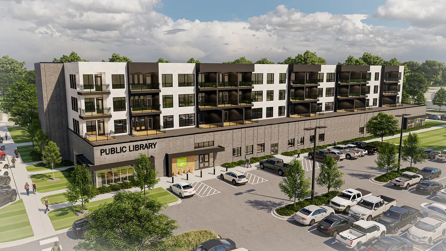

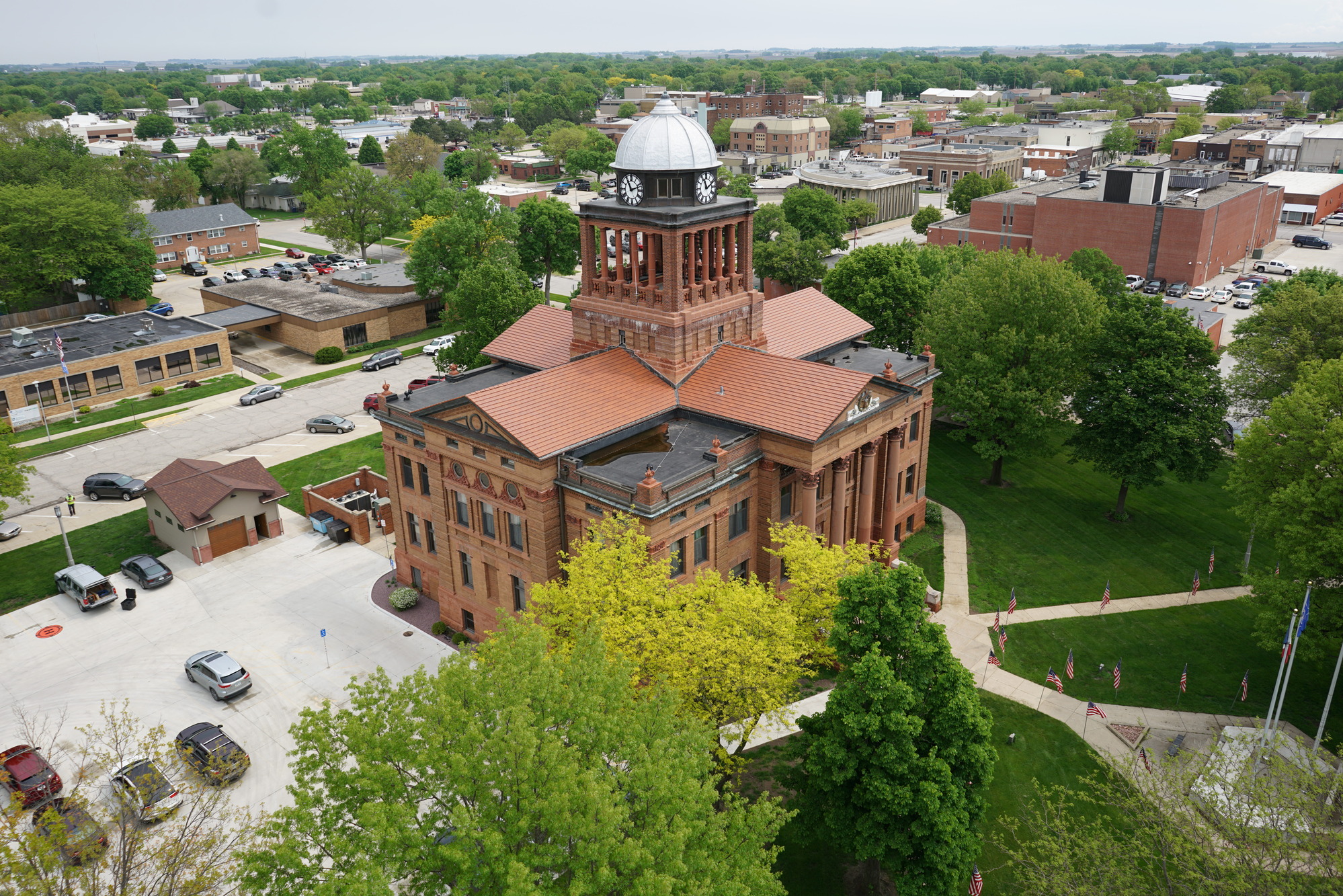
Optimize Maintenance + Reveal Opportunities with Facilities Assessments
The Clay County Board of Supervisors (County) knew they needed to address facility repairs in their Administration Building, Courthouse, and General Services Center. While maintaining public buildings does not generate excitement, County leaders recognized that deferring upkeep of public facilities can cost more in the long run if left unaddressed and may result in limiting other more impactful projects.


Creating Flood-Resilient Communities: A Case Study in Floodplain Management
In the land of 10,000 lakes, Minnesotans love to live near and play in our abundant water systems. But the effects of population growth, land use development, and climate change pose challenges within floodplain areas, contributing to persistent flooding issues.

Why a Phase 1 Environmental Site Assessment is Critical to Project Success
In the world of real estate development and land acquisition, the road to success is paved with thorough planning and attention to detail. One often overlooked but crucial step in the due diligence process is the Phase 1 Environmental Site Assessment (ESA). Before a client begins any project, ISG often conducts a Phase 1 ESA to identify any recognized environmental conditions (RECs) that could impact the property's value or pose potential risks to public health and the environment. The result of the assessment influences the project’s direction and success long-term.
100% Employee Owned

.svg)


